Rapid Editor
Rapid Editor utilizes AI-generated map overlays from satellite imagery to identify and predict features, simplifying the mapping process with an intuitive user interface for humanitarian projects.
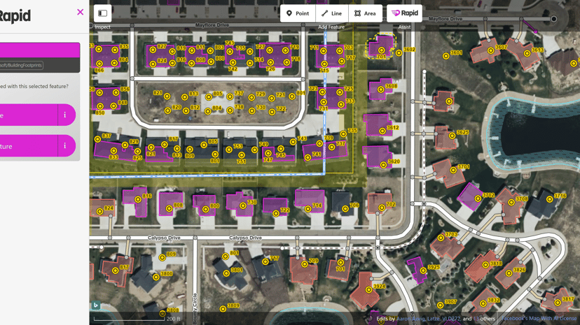
Rapid Editor: Enhancing Mapping with AI
The Rapid Editor is a user-friendly tool designed to streamline the mapping process using advanced artificial intelligence. It transforms satellite imagery into actionable map overlays, effectively highlighting unmapped areas and identifying features with ease.
Key features include an intuitive interface for drawing map geometries and the ability to integrate open data. These capabilities make it particularly beneficial for humanitarian efforts, community mapping projects, and anyone needing to visualize geographic data quickly.
The primary audience consists of humanitarian organizations, researchers, and community activists who require accurate mapping for project implementation. Rapid Editor’s unique blend of AI-generated insights and manual mapping tools allows users to enhance the accuracy of their data while saving time.
Its compatibility with various community groups and projects makes it a versatile asset for those seeking to improve their mapping efforts and achieve specific organizational goals.