OpenLayers
OpenLayers is a fast, mobile-ready JavaScript library for creating dynamic maps, supporting various data formats and advanced mapping techniques, with extensive documentation and examples available.
OpenLayers: A Comprehensive Mapping Library
OpenLayers is a robust, open-source JavaScript library designed for creating dynamic maps on web applications. With a focus on performance, usability, and extensive feature sets, it empowers developers to integrate a wide array of mapping functionalities directly into their projects.
Key Features
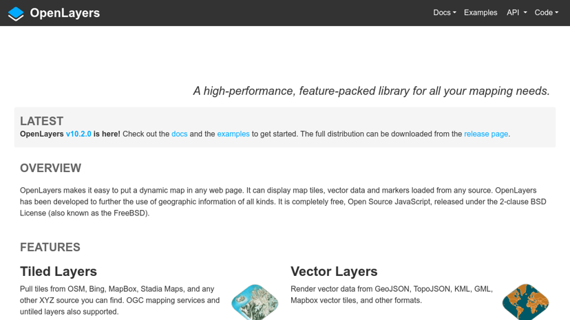
One of the standout features of OpenLayers is its flexibility in handling various geographic information formats. It supports a multitude of data sources including GeoJSON, KML, GML, and Mapbox vector tiles. This versatility allows developers to work with both tiled layers and vector data, making it easy to render and visualize complex geographic datasets.
OpenLayers also leverages modern web technologies such as Canvas 2D and WebGL, ensuring that maps are not only visually appealing but also optimized for performance across devices. The library is mobile-ready, catering to the increasing demand for seamless experiences on smartphones and tablets.
Audience
The primary audience for OpenLayers includes web developers, GIS professionals, and organizations that rely on geospatial data for their operations. Whether it's for creating custom mapping solutions for urban planning, environmental monitoring, or logistics, OpenLayers provides the tools needed to build tailored applications.
Benefits and Unique Features
Using OpenLayers can significantly improve the user experience of web applications that involve mapping. Its ease of integration with third-party libraries allows for extensive customization, enabling developers to create solutions that meet specific business needs. Additionally, OpenLayers provides access to various mapping services which means users can pull in background maps from sources like OpenStreetMap, Bing, and others.
What sets OpenLayers apart is its commitment to progressive updates and an active community. The library is continually enhanced with new features and optimizations, ensuring that users stay up-to-date with the latest advancements in mapping technology.
In summary, OpenLayers stands out as a powerful tool for any web developer looking to create interactive, high-performance maps with comprehensive support for various geographic data sources. Its combination of flexibility, performance, and community support makes it a reliable choice for modern web applications.